Signal Mountain
People ask about Signal Mountain when they want the ridge, the woods, and a town that still feels like a town.
Overview
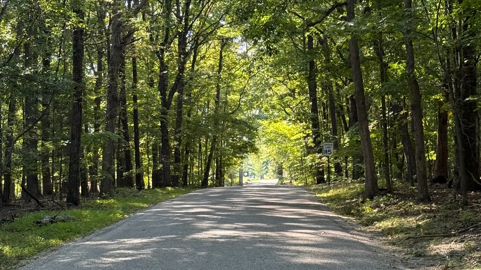
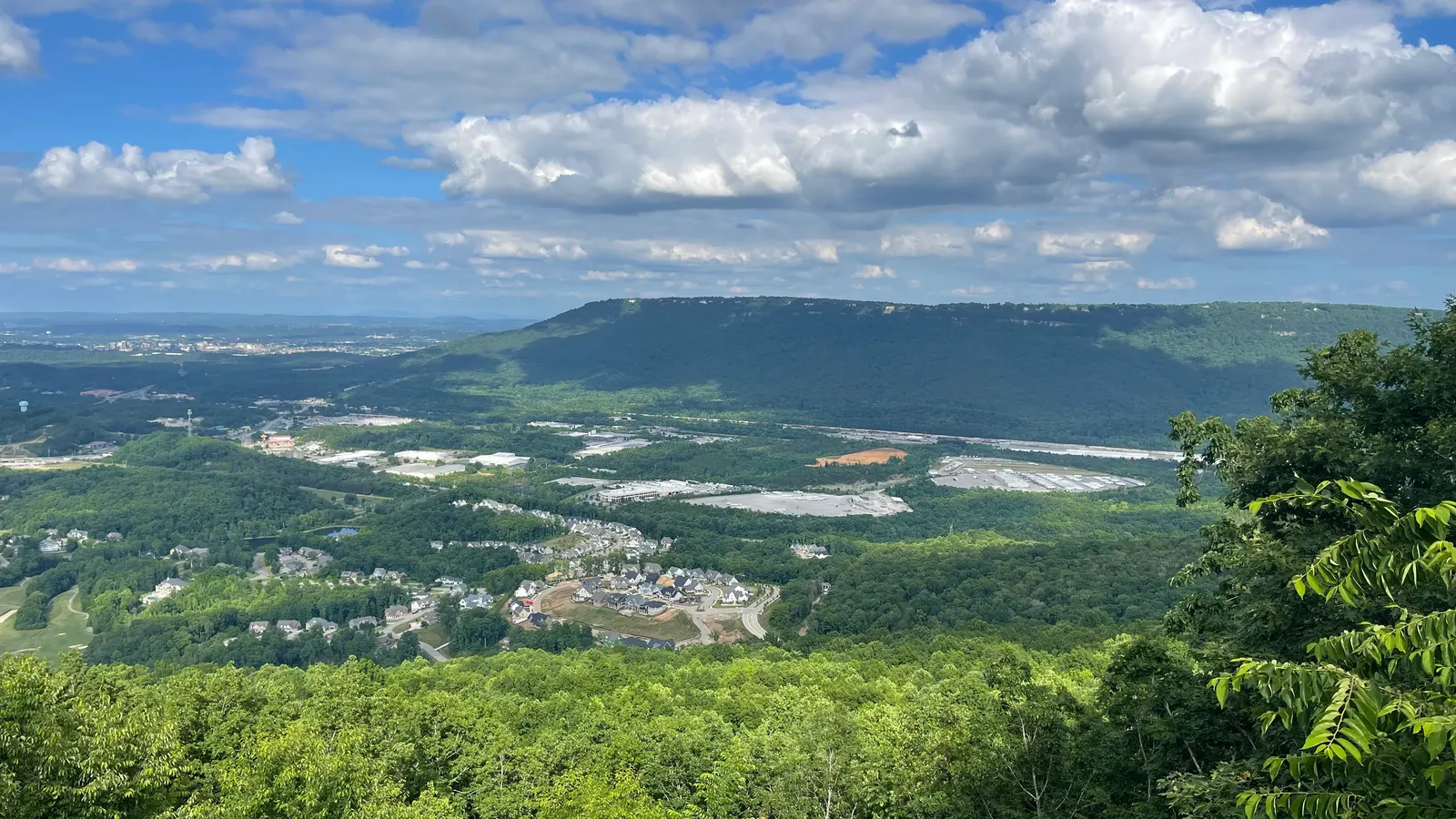
Signal Mountain sits on Walden's Ridge, at the southern end of the Cumberland Plateau. The town takes its name from Signal Point, which looks over the Tennessee River and Chattanooga. The town describes itself as residential.
Getting around
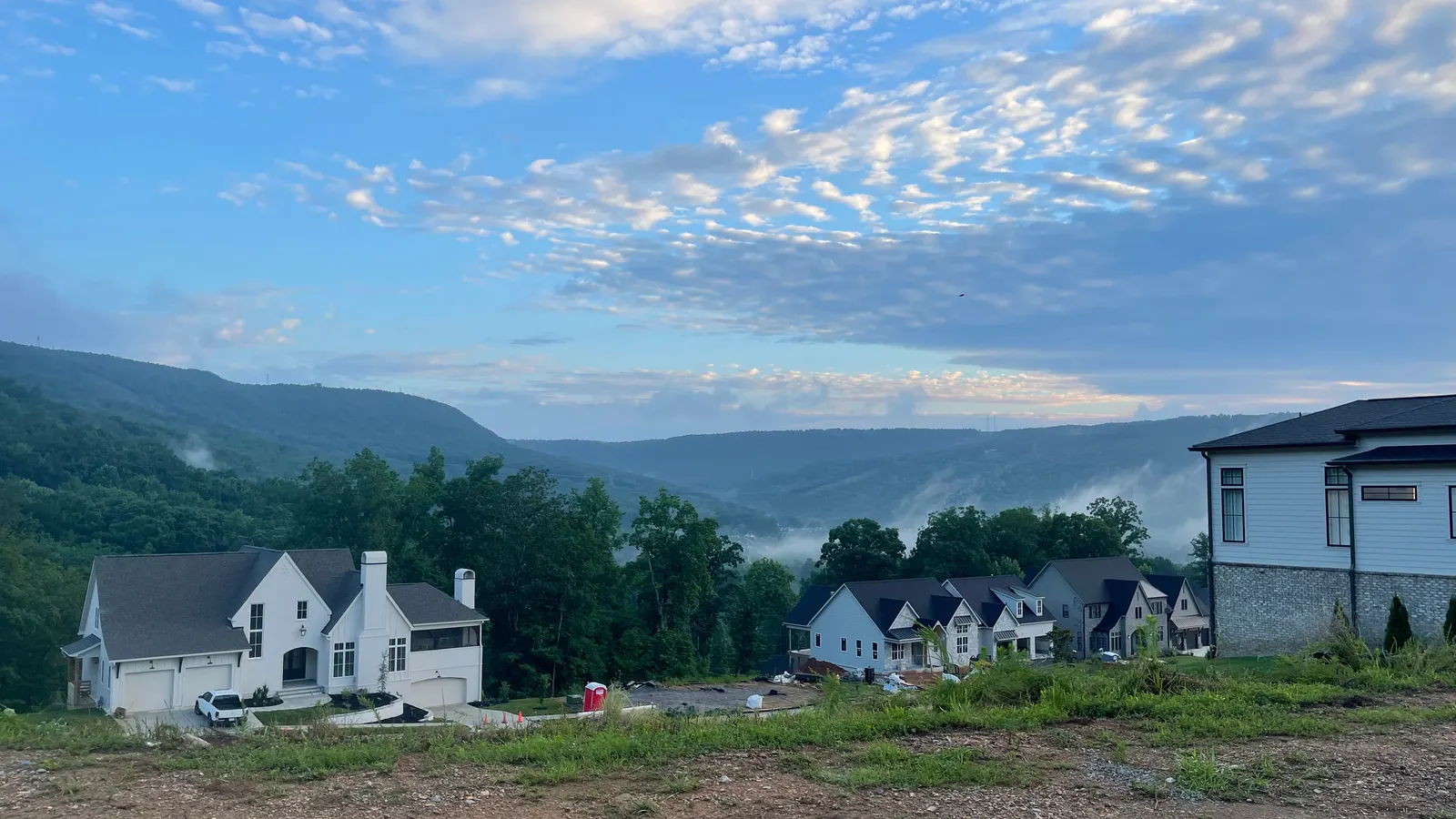
Signal Mountain Boulevard is named on the town park list, at Shoal Creek. Signal Point is at the end of Signal Point Road, and the reservation has parking.
Things to do
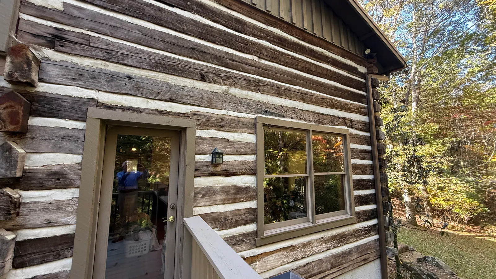
Signal Point is part of Chickamauga and Chattanooga National Military Park and is an access point for the Cumberland Trail. Rainbow Lake is a hike on the trail that starts on Ohio Avenue near Alexian Village. The town lists 18 miles of trails that loop from Shackleford Ridge Park through Prentice Cooper State Forest.
Homes you'll find
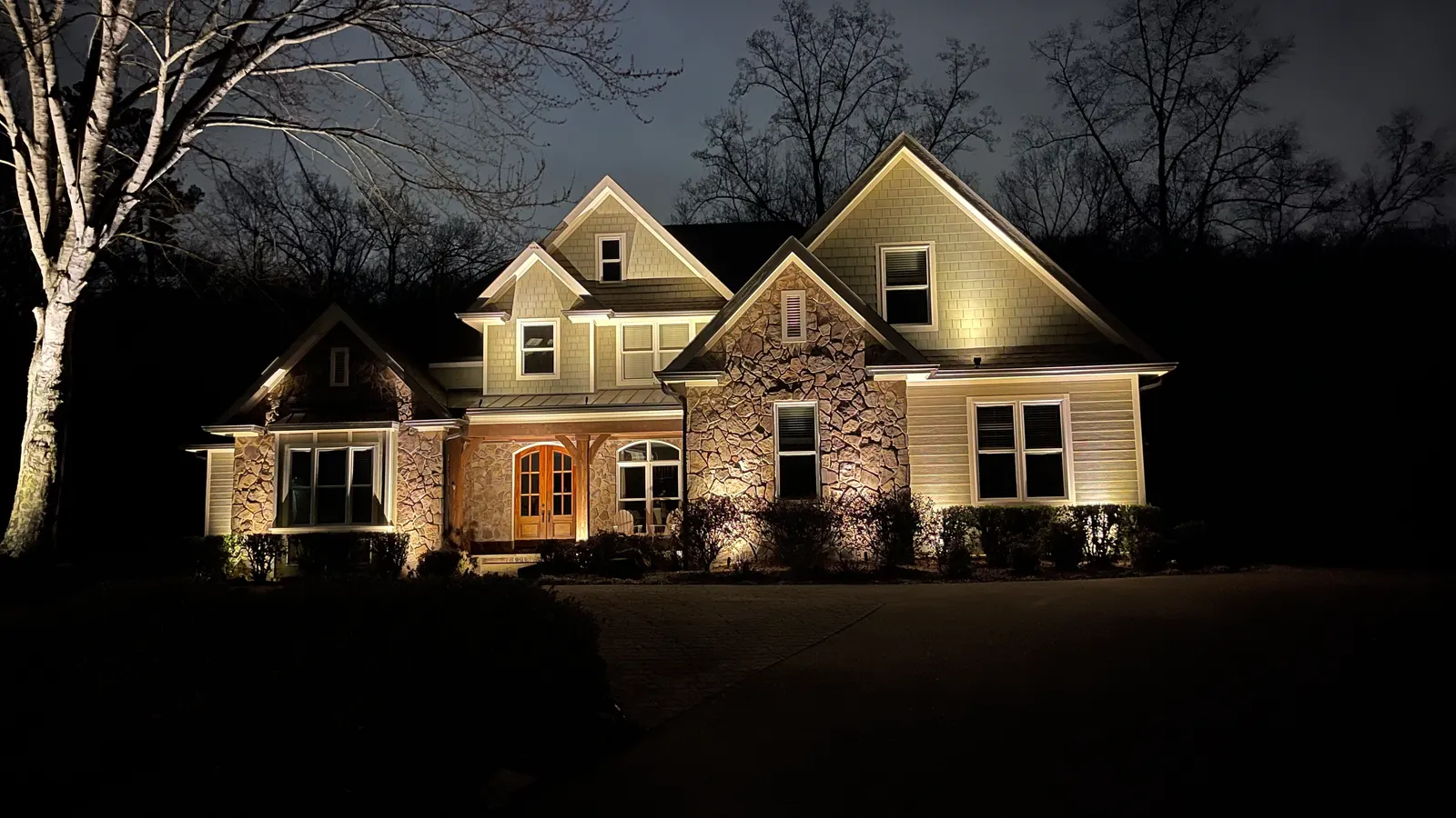
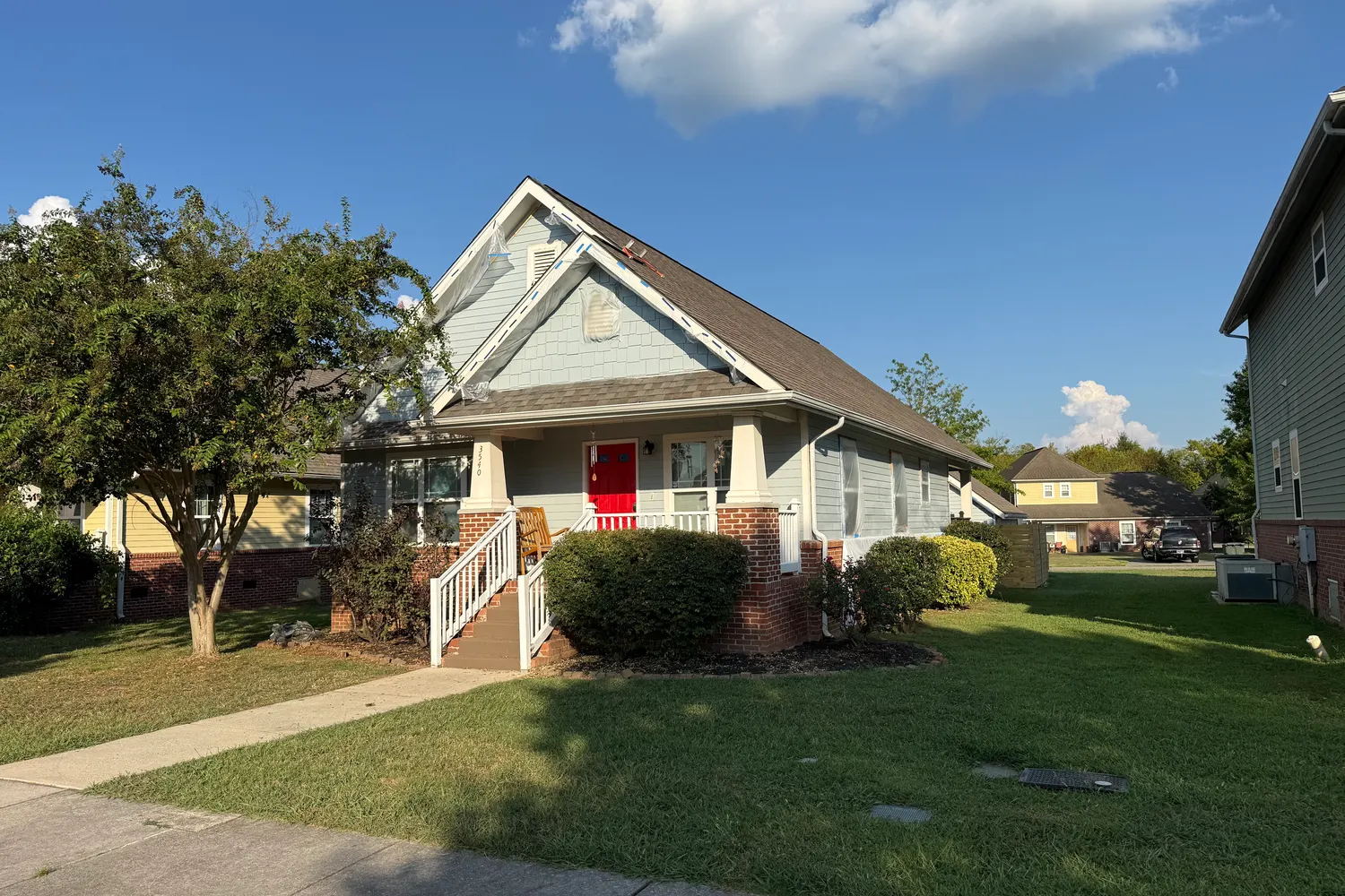
The town calls itself residential. Its history describes the houses that grew up around the old Signal Mountain Inn, in the area now called the Old Town District.
Schools
For school information, see the official sources:Hamilton County Schools·Tennessee Department of Education. We don't rate or rank schools.
Commute
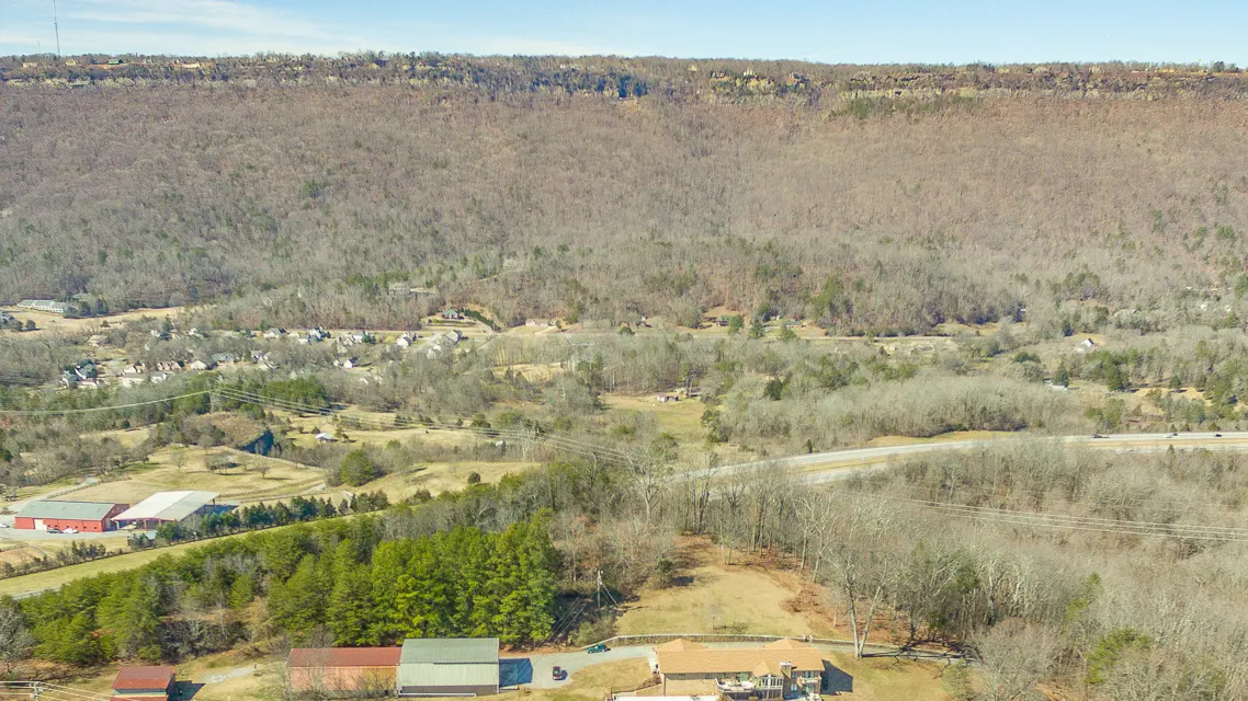
The Town of Signal Mountain says it is about ten miles from downtown Chattanooga.
Fair housing: we describe places and amenities, not who lives there.
Sources: signalmountaintn.gov/history.php · signalmountaintn.gov/parks.php · nps.gov/signal-point.htm