Ooltewah
Ooltewah comes up when someone wants the interstate close and a little more room than the neighborhoods in town.
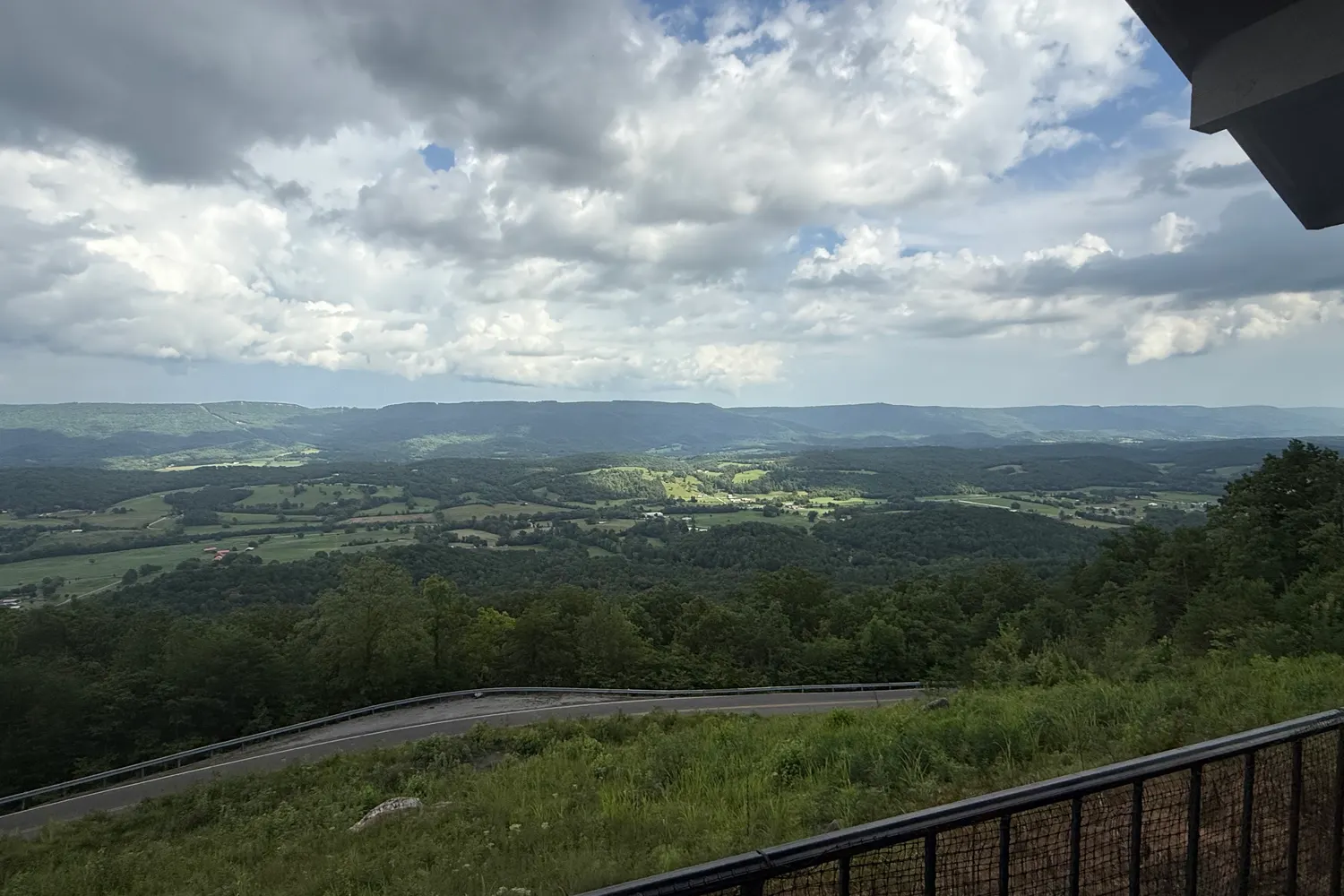
Overview
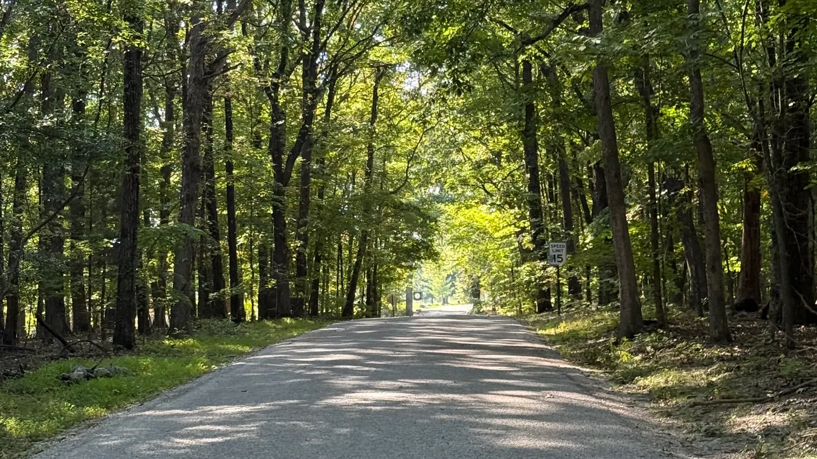
Ooltewah-Ringgold Road is State Route 321. TDOT describes it as the east end of East Brainerd Road, State Route 320, for people living and working in eastern Chattanooga and southeastern Hamilton County.
Getting around
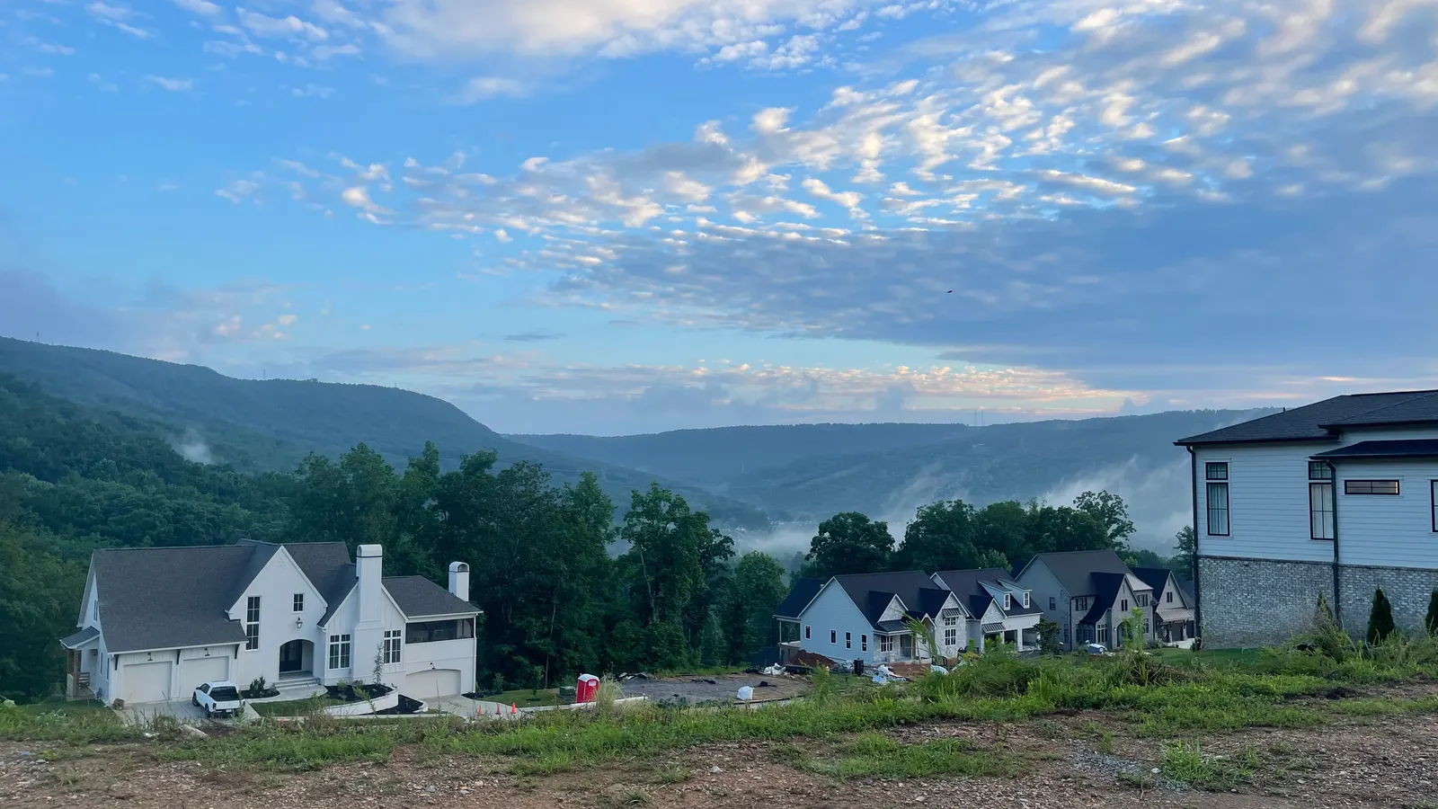
Hamilton County says Enterprise South Nature Park is reached from Interstate 75 at the Volkswagen Drive exit, or from Bonny Oaks Drive by way of Volkswagen Drive.
Things to do
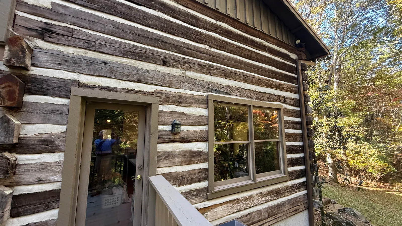
Enterprise South Nature Park is 2,800 wooded acres that were once part of the Volunteer Army Ammunition Plant. Hamilton County lists walking paths, bicycle paths, a horse trail, and off-road biking trails. The regional planning agency names Cambridge Square in Ooltewah as a walkable center.
Homes you'll find
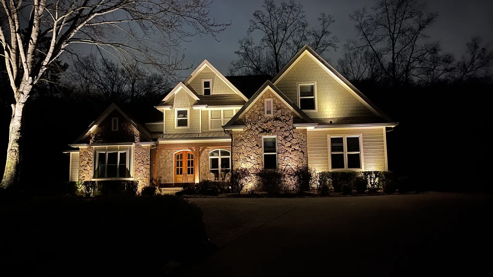
Homes in Ooltewah are along Interstate 75 and Ooltewah-Ringgold Road, State Route 321.
Schools
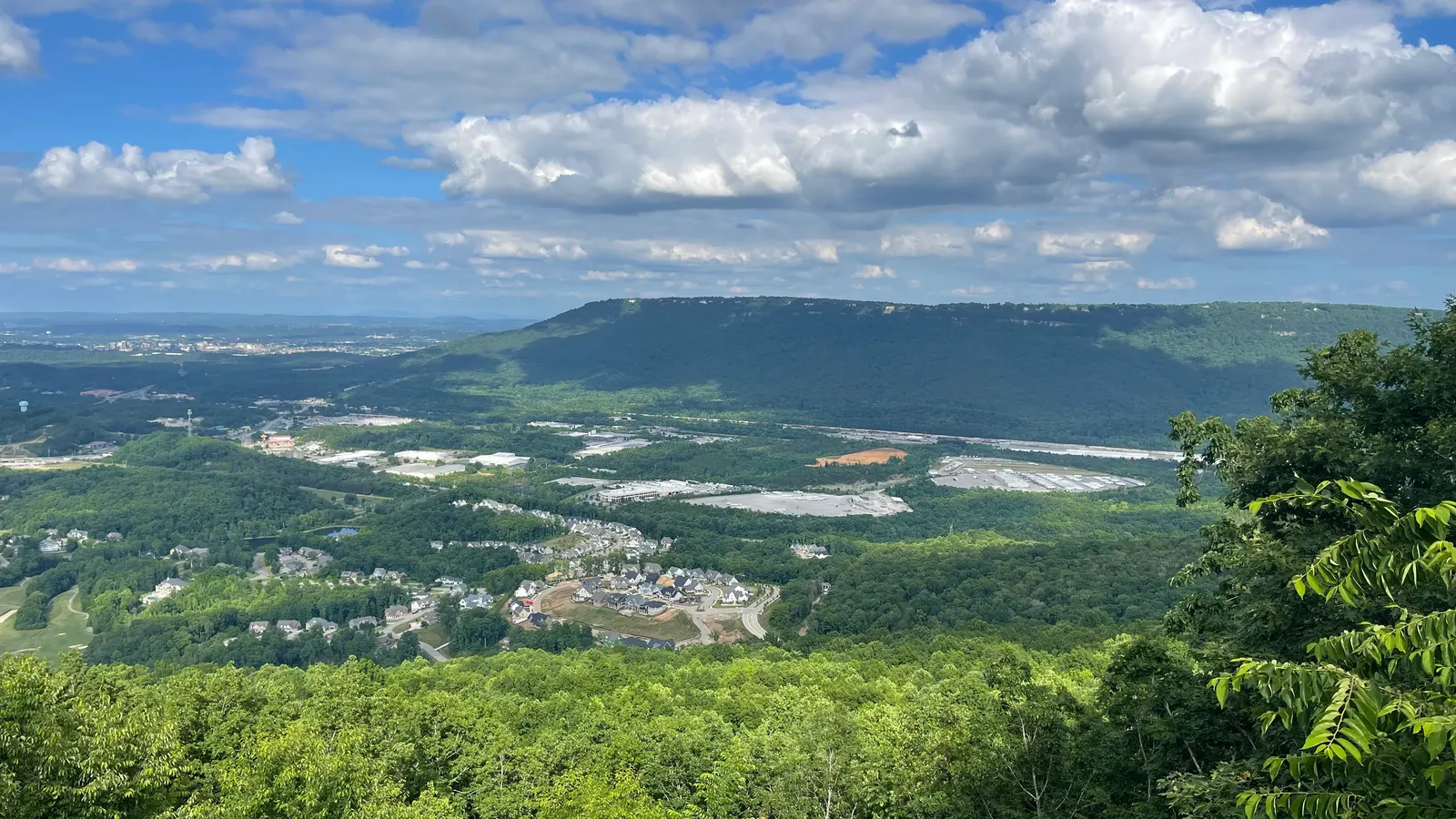
For school information, see the official sources:Hamilton County Schools·Tennessee Department of Education. We don't rate or rank schools.
Commute
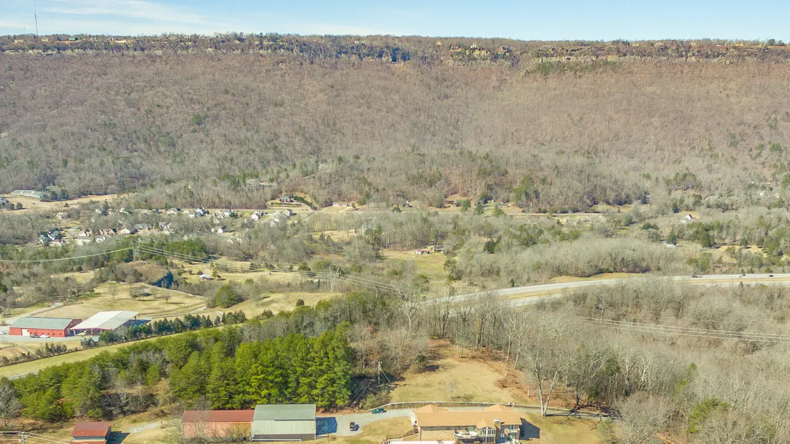
Interstate 75 is the freeway into Enterprise South Nature Park from this part of the county, at the Volkswagen Drive exit.
Fair housing: we describe places and amenities, not who lives there.
Sources: tn.gov/sr-320-wide.html · parks.hamiltontn.gov/Enterprise-South-Nature-Park · parks.hamiltontn.gov/History-and-Heritage · chcrpa.org/area-11-plan