East Brainerd
East Brainerd is the part of town people mean when they want a house off a main road and a straight shot to I-75.
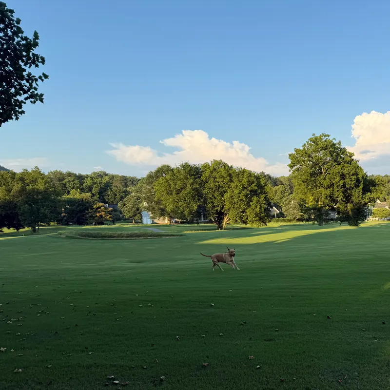
Overview
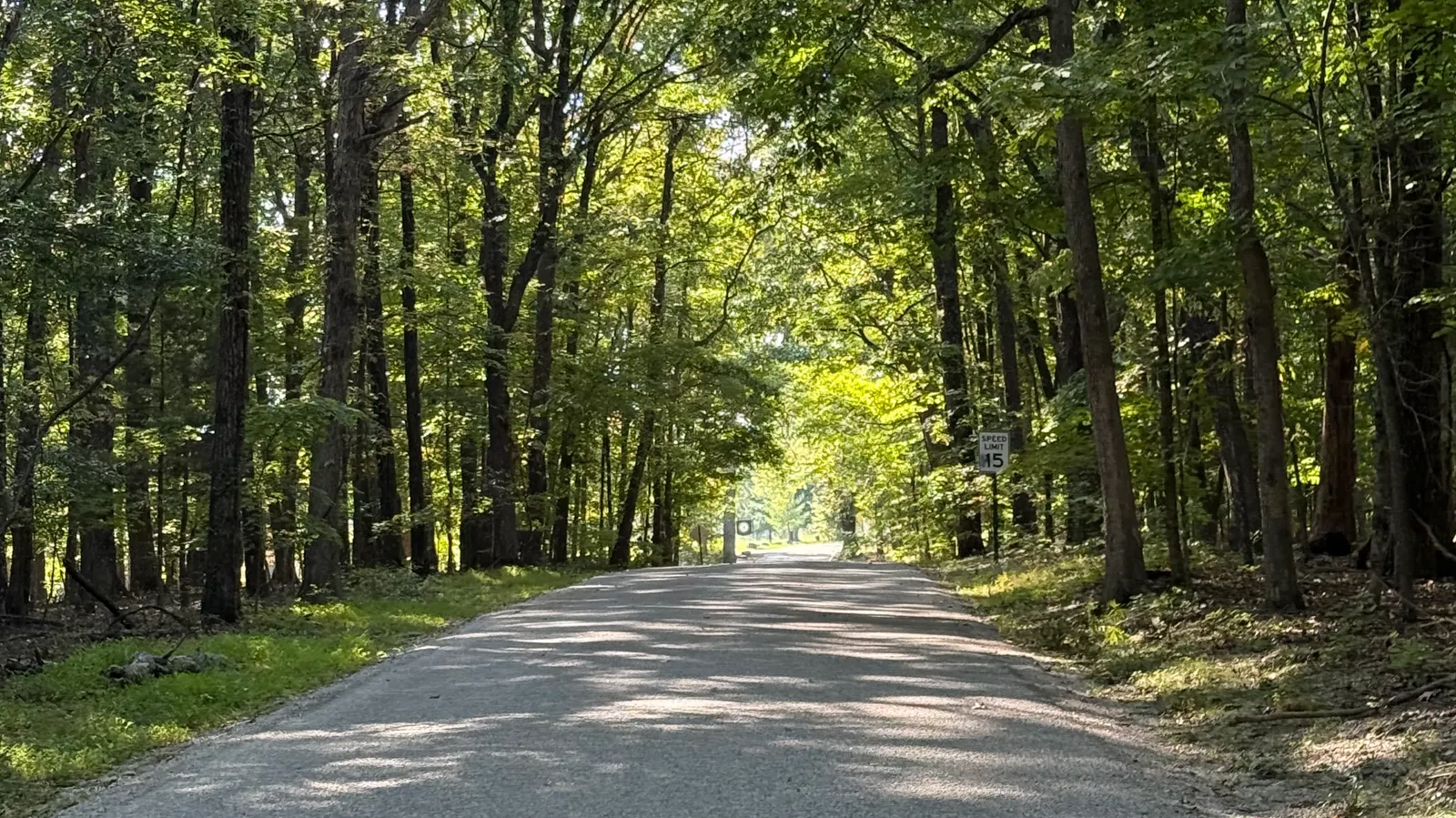
East Brainerd Road is State Route 320. TDOT describes it as an east-west road between Interstate 75 and State Route 321, Ooltewah-Ringgold Road, for eastern Chattanooga and southeastern Hamilton County.
Getting around
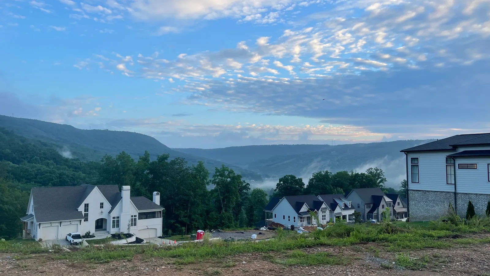
East Brainerd Road is the named arterial. Interstate 75 meets this area at the Hamilton Place interchange. TDOT's interchange project also names Shallowford Road and Hamilton Place Boulevard. The regional plan names Gunbarrel Road as a street people already drive and walk.
Things to do
The Area 11 plan lists Jack Benson Heritage Park, with a playground, walking trails, and a dog park, and Batter's Place, with ballfields and tennis courts. Audubon Acres is privately owned by the Chattanooga Audubon Society. The plan says residents asked for more walkable centers and names Gunbarrel Road.
Homes you'll find
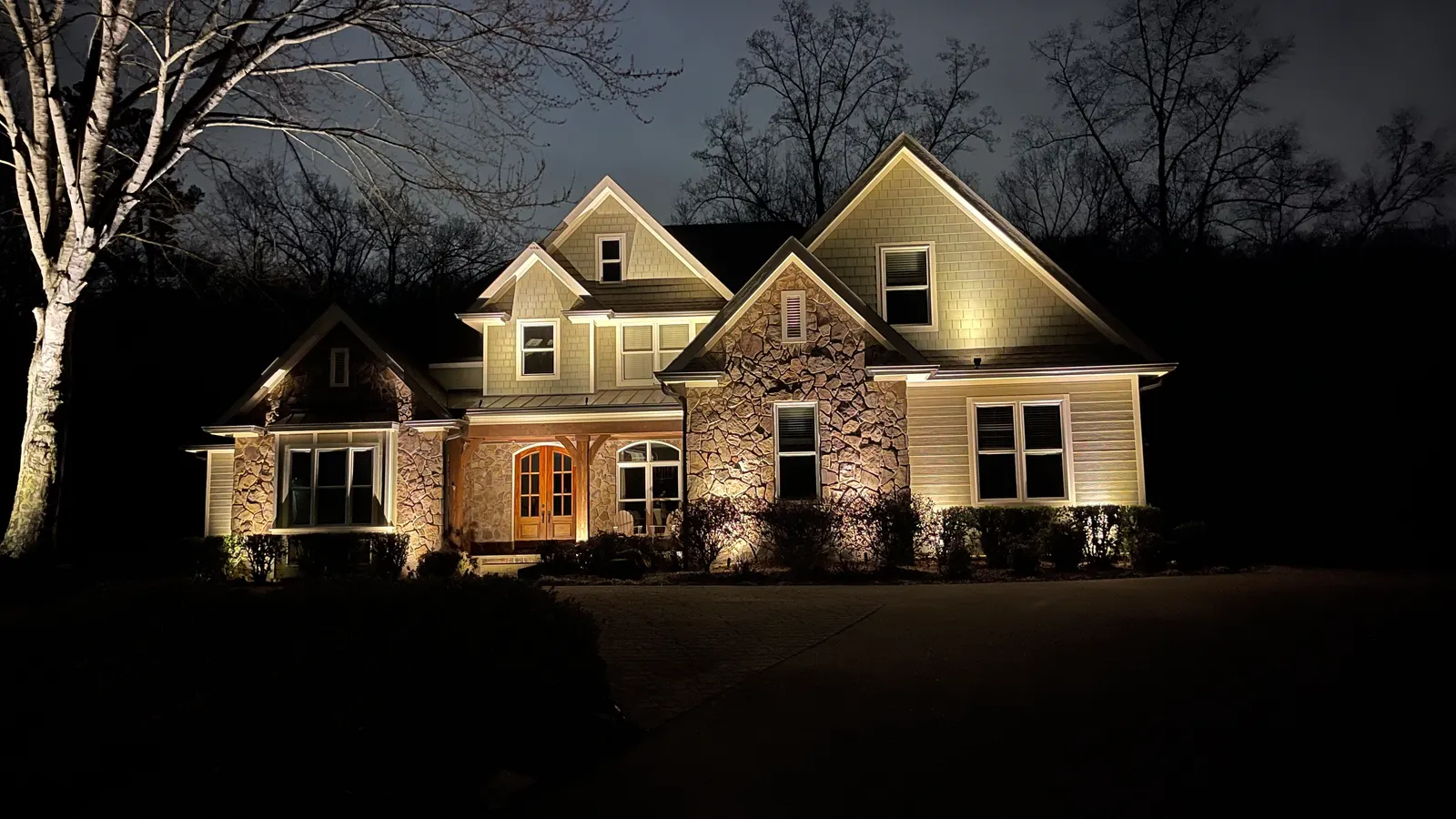
TDOT describes East Brainerd Road as a road for people living and working in eastern Chattanooga and southeastern Hamilton County. Residential streets come off that road.
Schools
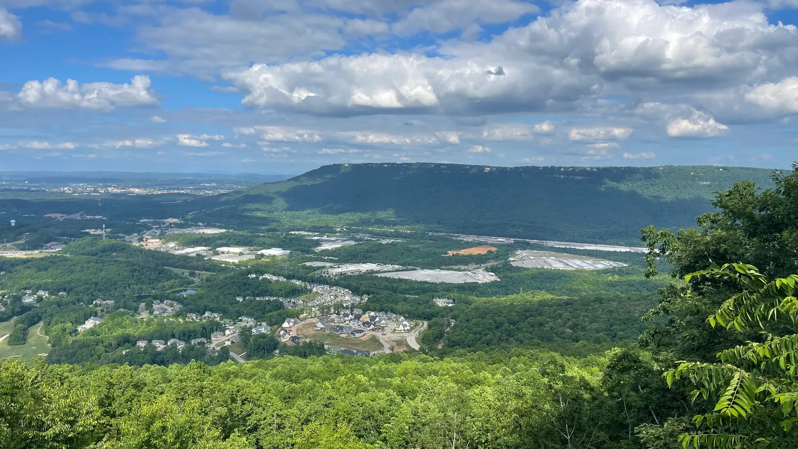
For school information, see the official sources:Hamilton County Schools·Tennessee Department of Education. We don't rate or rank schools.
Commute
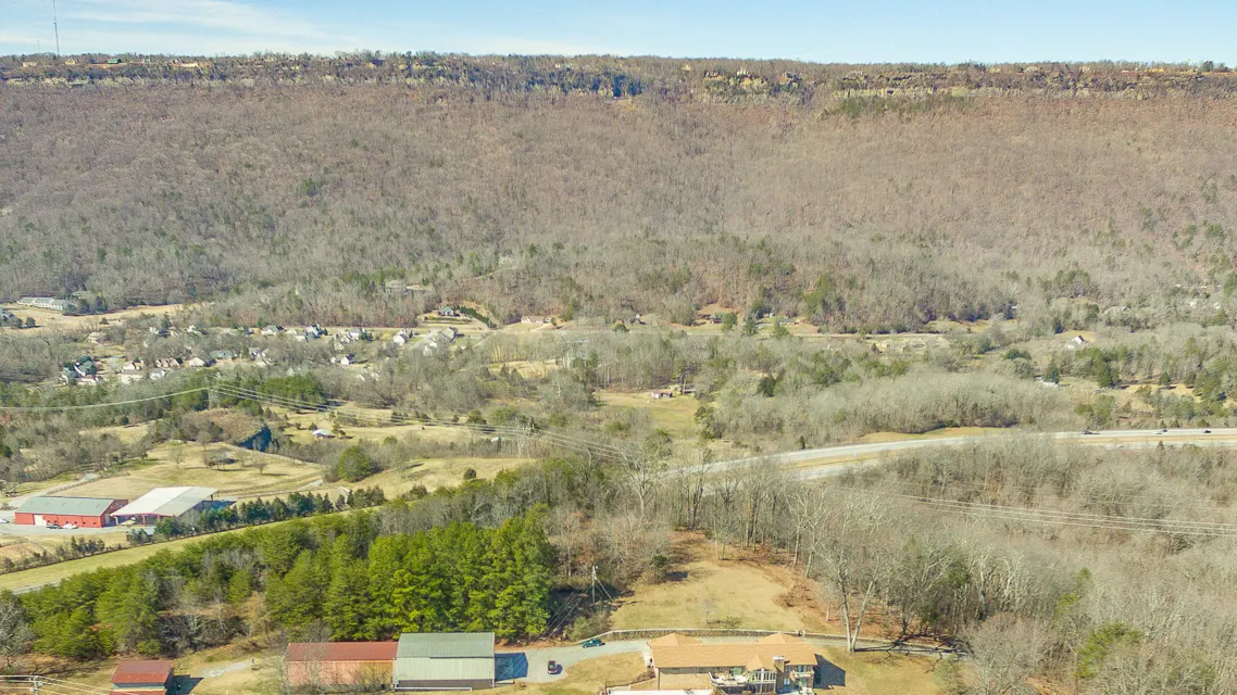
East Brainerd Road connects to Interstate 75. The Hamilton Place interchange is the I-75 access TDOT is rebuilding, including ramps tied to Shallowford Road.
Fair housing: we describe places and amenities, not who lives there.
Sources: tn.gov/sr-320-wide.html · tn.gov/i-75-interchange-modifications.html · chcrpa.org/area-11-plan